
The White River is an amazing place to spend your day. As I trudged through the brush and made my own trails, my friends, Steve and Sandra, went fly fishing. It was a beautiful day with little wind, lots of sunshine, and plenty of time to breathe and relax.
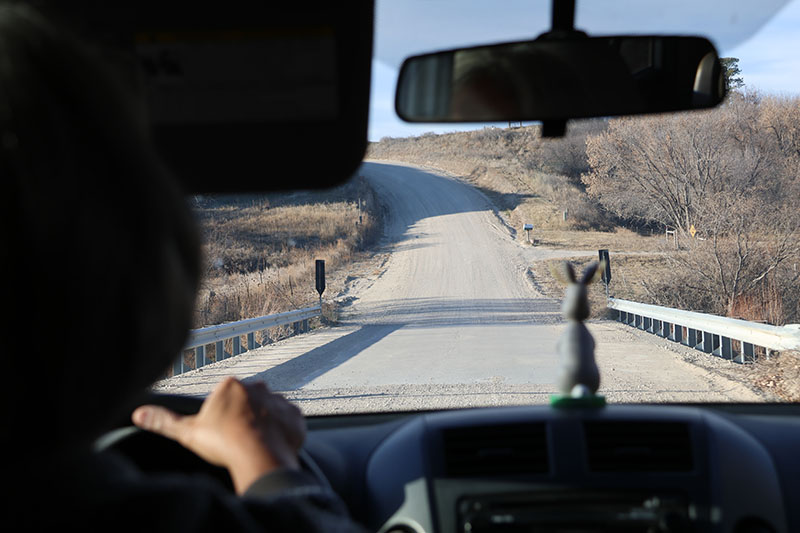
What’s a better way to start your day than driving down dirt roads in Sioux County, Nebraska in a car with a jackalope bobblehead? Soon, we’ll be on the White River.
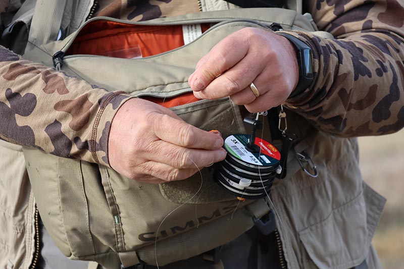
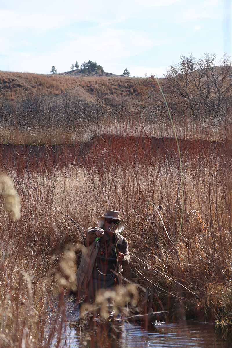
Steve prepares his line before wading off into the White River to do some flyfishing. The White River is a Missouri River tributary that flows 580 miles (930 km) through Nebraska and South Dakota.
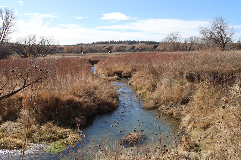
Land owners have made parts of the White River accesible for fishing, but there are always cattle gates that must be opened and properly closed. The river gets its name from the water’s white-gray color, a function of eroded sand, clay, and volcanic ash carried by the river from its source near the Badlands.
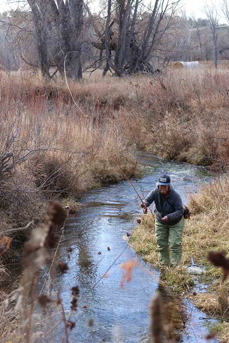
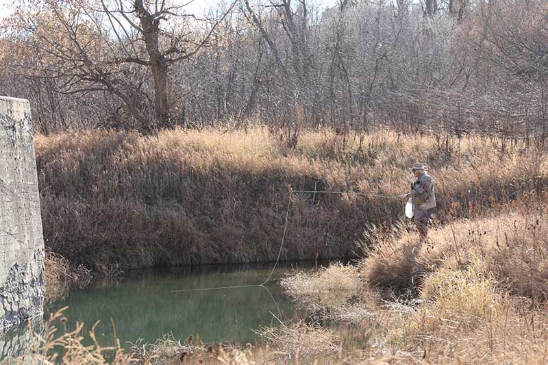
Sandra slings her line toward a nook where some fish are hiding along the White River in Sioux County, Nebraska. The White River rises in northwestern Nebraska, in the Pine Ridge escarpment north of Harrison, at an elevation of 4,861 feet (1,482 m) above sea level.
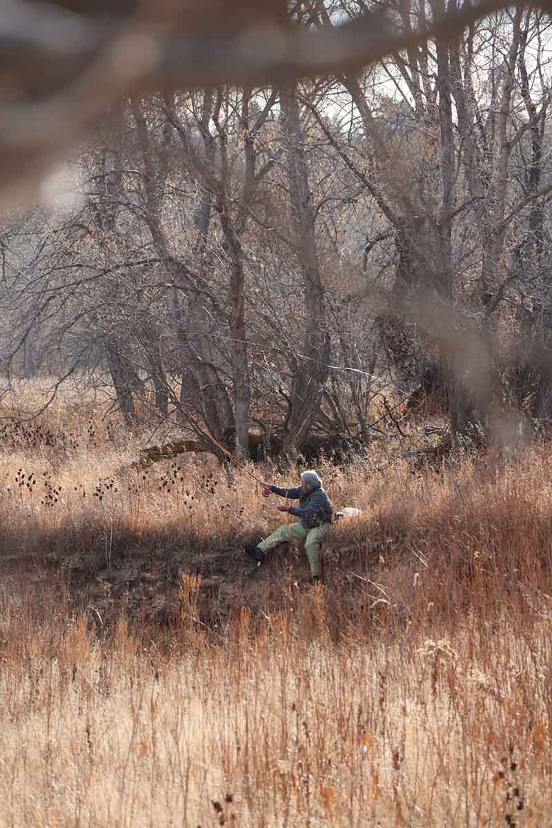
I failed at one of my tasks on this day. While Steve and Sandra were fishing, Sandra had asked if I could get some photos of her on her backswing, whatever fly fishers call it. She wants to better her technique. I wasn’t quick enough, but I did get some amazing shots of the beauty of the land throughout the day.
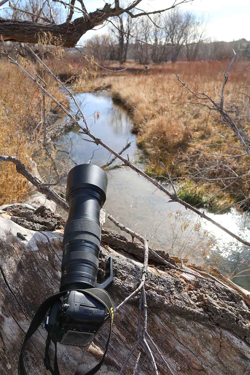
The spot…
…the shot.
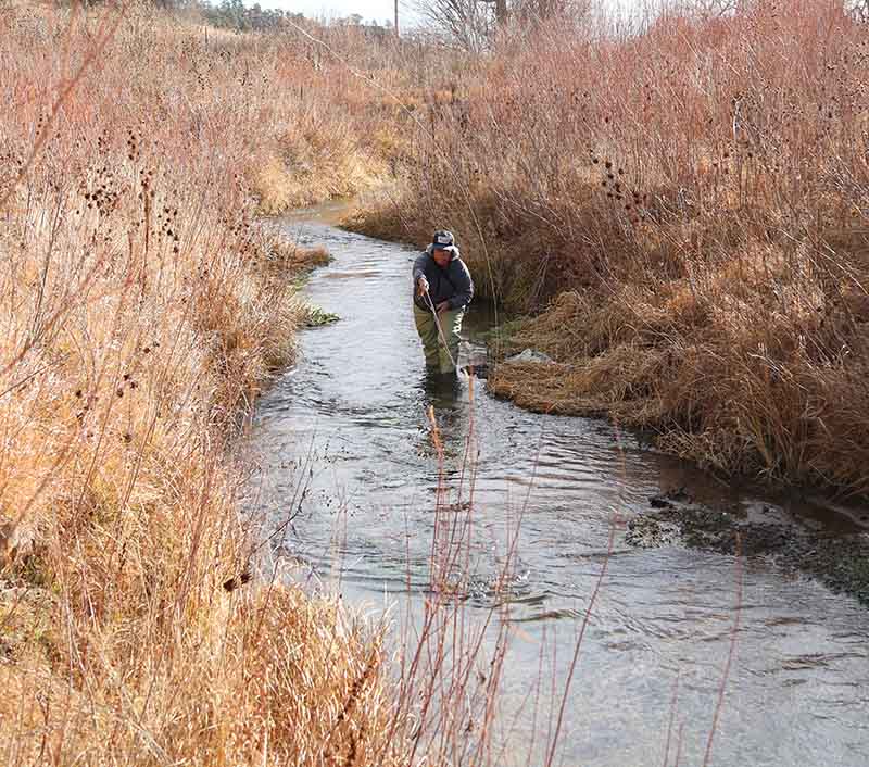
After walking more than half a mile, I found Steve, knee deep in the White River near a beaver dam. He caught a few fish here. Today was all catch-and-release.
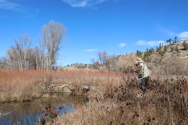
Steve casts his line along the White River. The river sometimes has no surface flow due to the dry climate surrounding its badlands and prairie basin, though thunderstorms can cause brief intense flow.
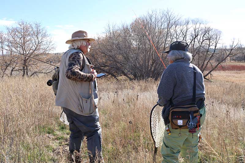
There is little to no cell phone signals out here, but Steve had his maps ready to go. With a combination of cell phone and paper maps, Steve and Sandra plot their next stop along the White River.
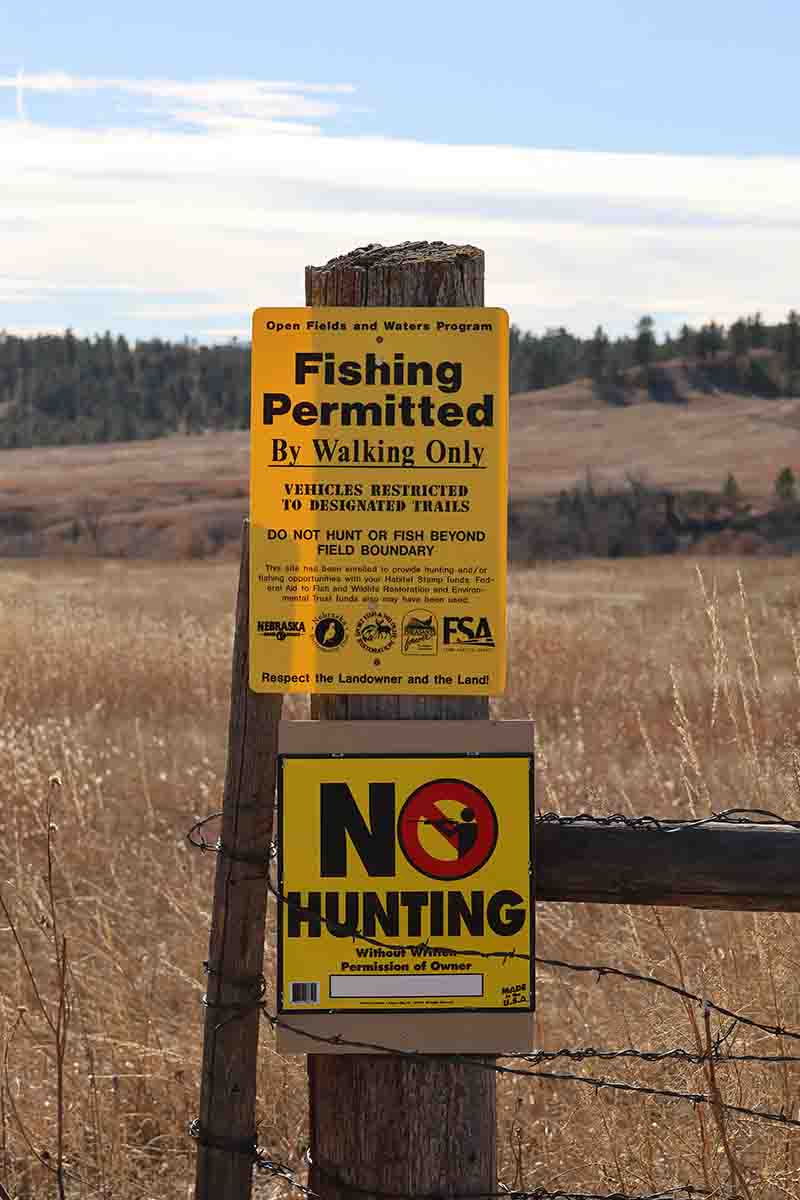
These are the signs to look for when you want to fish on the White River. If a gate doesn’t have this sign, don’t try wandering through a field to get to the river. Stay where you’re permitted.
No one had any luck on this stretch of the White River, which ended near an old railroad tressle. I took some neat photographs, which I’ll post tomorrow, but the fishes were someplace else.
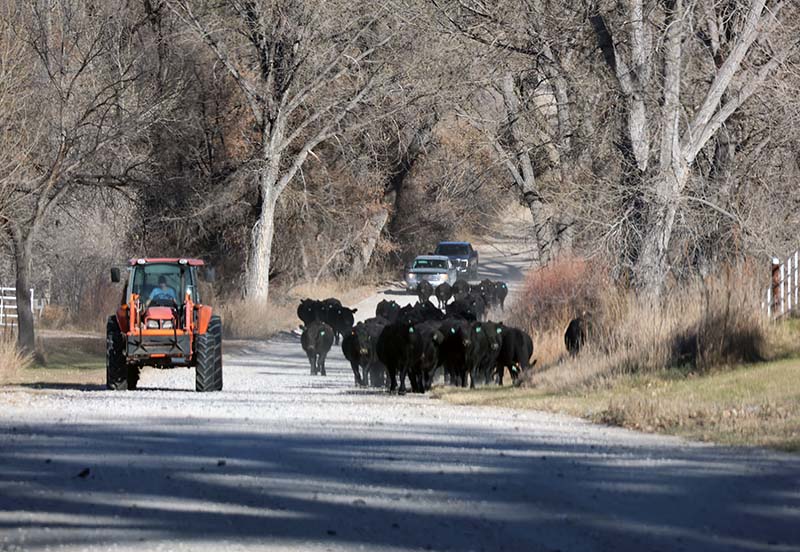
Of course, no trip in Nebraska is complete without the obligatory stop for passing cows.
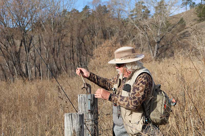
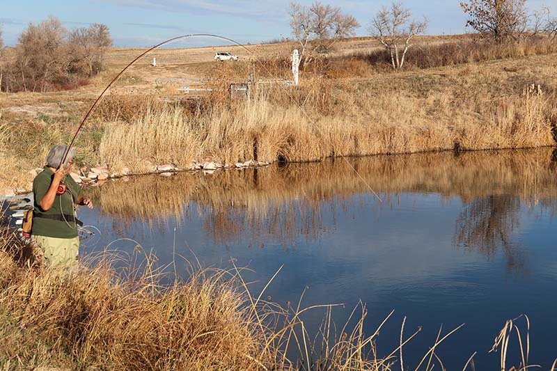
Steve sits at Cherry Creek Pond at Fort Robinson State Park and takes a moment to change the fly on his flyfishing pole before he gets back to catching fish.
Sandra starts to reel in a fish on the end of her line at the Cherry Creek Ponds during the waning part of the day. Not long after, the sun began to set and Sandra and Steve had to call it a day.
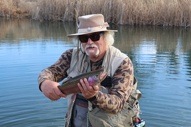
Steve caught a 20 1/4″ rainbow trout at the Cherry Creek Ponds at Fort Robinson. Because today was a catch-and-release day, this guy went back into the water.
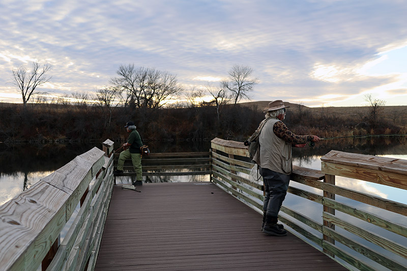
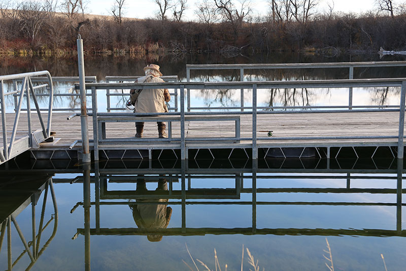
Sandra and Steve cast one more line each as the sun sets on their day of fishing on the dock at the Cherry Creek Ponds. This dock was moved from the Carter P. Johnson lake after officials at Fort Robinson closed the lake.
If I heard them right, Steve caught 13 fish “the hard way” and Sandra bagged 9. I hiked 18,686 steps, or 7.795 miles (12.5km) and took 1,756 photos. It was a good day all around.
Please note: I am still trying to learn the best way to edit photos so they aren’t too large but are also good to look at. I shoot in jpg and raw, so if anyone has any tips on how I can improve my photo editing, I’ll take it. I’ll even take an idiot’s guide with lots of details. My jpgs (9-15MB) and raw (35-50MB) are rather large and I’m using Photoshop CS6.
Steve
I’m glad you came along. It was a great day and a treat to be able to see photographs. We enjoyed your company and it was unbelievable to get a 65-degree day with no wind in November. Maria says to tell you she enjoyed seeing them too. On top of everything else I had almost eights miles of steps. And an amazing fish!